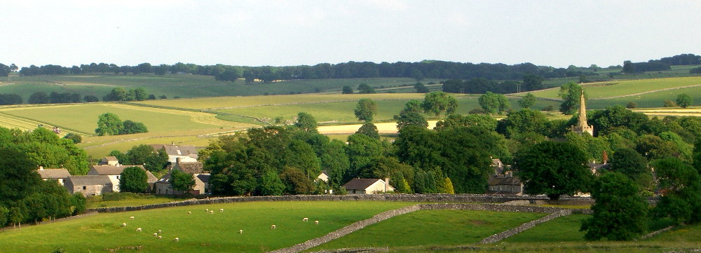
Monyash (pronounced Munyash) is a small village situated in the middle of the Peak District in Derbyshire, England. The village lies in a shallow hollow in the limestone plateau at the head of Lathkill Dale. Most of the houses sit along two roads and at the intersection is the village green. The rolling scenery around the village is typical of the White Peak area, with limestone walled fields and small clumps of broad-leaved trees.
Also in this part of our website you can find

Copies of ‘Monyash – The Making of a Derbyshire Village’ are available at £14.99 plus £2.00 post and packing.
You can find out more about the book by sending us a message from this page.

Photograph by Robert Johnston
Monyash Factfile
Population:
- Around 280 people in about 145 houses, some of which are used as holiday or weekend cottages.
Location:
- Latitude 53.195878, longitude -1.776824
- Centre of the White Peak area of Derbyshire.
- At the head of Lathkill Dale.
- 5 miles north-west of Bakewell and 8 miles south of Buxton.
- Grid reference SK150666, Ordnance Survey maps OS Landranger Map 119 / OS Explorer Map OL24
Elevation:
- 300 metres above sea level.
Industry:
- Sheep and dairy farming.
- Tourism.
Topography:
- The White Peak area consists of a limestone plateau dissected by narrow, steep sided valleys (or dales).